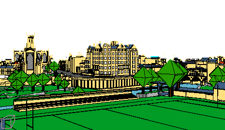
Variable Height Navigation Mode
At any given position in an urban VE, there must be a minimum amount of sensory cues available to assist navigation. This is achieved by varying the height of navigation (flying) according to the available information.
Theoretical Model:
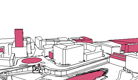
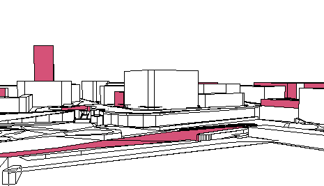
Areas / elements of high sensory cues are identified and marked using attractor nodes.
Consequently, areas rich in sensory cues have one, or often more, of these nodes in close proximity keeping the user low over the cityscape whereas in sensory poor areas navigation height increases.
Attractors
Avatar Flying Height Estimation
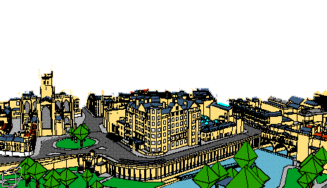
Visual cues: attractor nodes are inserted on a low level of detail/boundary like representation of the city to achieve near realtime performance. The placing of the attractors, mainly in terms of elevation, is crucial for the calculations described next:
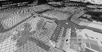
Experimental Implementation:
Due to the complexity of the proposed model, the actual implementation features a collision detection transparent mesh floating above the cityscape.
Peaks of the mesh denote the minimum amount of censory cues, creating an inverted 3D plot of the sensory cues intensity over the 2D plan.
Pros:
Cons: